This post may contain affiliate links. Please read our disclosure policy.
Driving the Pacific Coast Highway through Big Sur is one of the most scenic road trips in California. With dramatic cliffs, redwood forests, and iconic landmarks, it’s a day trip that combines breathtaking views, coastal hikes, and memorable food stops.
Captain + Stoker Coffee: Our Morning Fuel
We started early to beat the fog and picked up breakfast at Captain + Stoker in Monterey. The coffee was excellent, and the pastries from Parker-Lusseau Bakery gave us the perfect energy boost before heading south.
The Drive Along Hwy 1
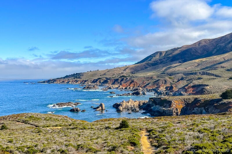
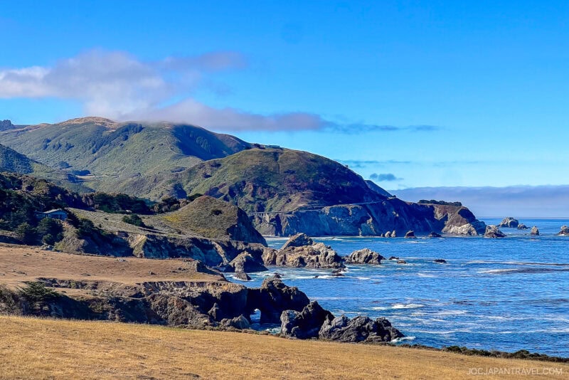
As soon as we merged onto Highway 1, the views opened up. On one side, cliffs dropped into the Pacific; on the other, rugged mountains rose steeply. Driving southbound made it easier to pull over at small vista points like Soberanes Point, Kasler Point, and Garrapata Beach. Each stop gave us a fresh angle of the coastline.
Bixby Creek Bridge: A Must-See Icon
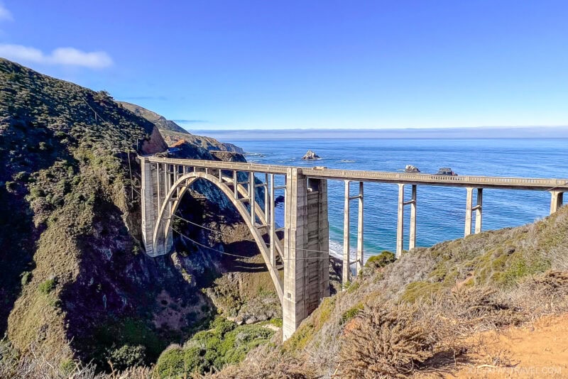
We couldn’t skip Bixby Creek Bridge, one of the most photographed landmarks in California. Instead of stopping at the busy Castle Rock Viewpoint, we chose Bixby Bridge Vista Point just east of the bridge. The view was stunning and far less crowded.
McWay Falls: Waterfall into the Ocean
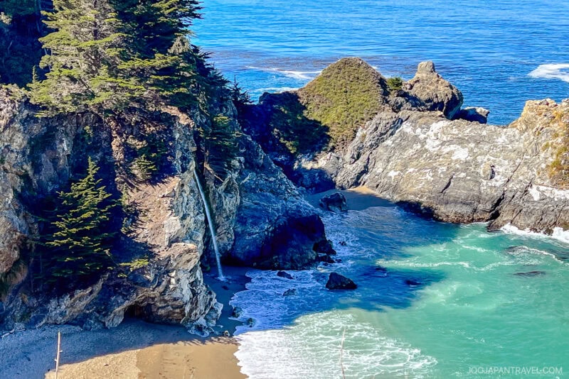
Further south, we reached McWay Falls in Julia Pfeiffer Burns State Park. This 80-foot waterfall flows year-round into a secluded cove. The trail is short and easy, less than 10 minutes each way, with rewarding ocean views. We spotted butterflies along the path and watched the waves crash against the hidden beach below.
Partington Cove and Partington Point
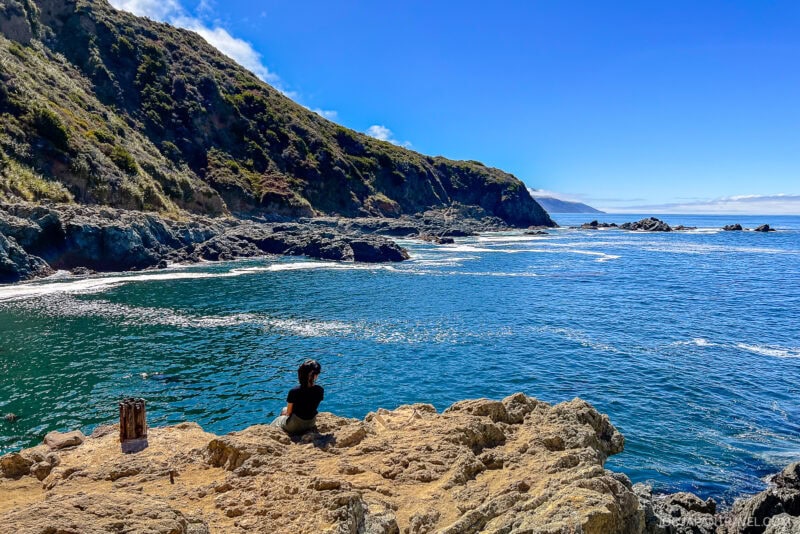
Just north of McWay Falls, we hiked the Partington Cove Trail. The path winds down through shady forest, passes through a tunnel, and opens onto a rocky cove. Continuing a bit further brought us to Partington Point, where waves pounded the cliffs dramatically. Starting early meant we had both places almost to ourselves.
Lunch with a View at Nepenthe
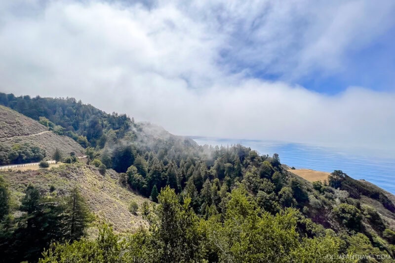
For lunch, we stopped at Nepenthe and chose the more casual Cafe Kevah. The food was simple but satisfying, and the open-air deck offered panoramic views that made the meal unforgettable.
Pfeiffer Big Sur State Park: Redwoods and Waterfalls
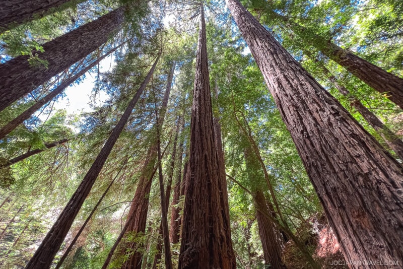
Heading back north, we spent the afternoon exploring Pfeiffer Big Sur State Park. We walked the Nature Trail under towering redwoods, then continued up the Valley View Trail for a sweeping look at the Big Sur River Valley. On the way back, we took the Pfeiffer Falls Trail to see a small but pretty waterfall. Together, the hikes took about an hour and a half.
Andrew Molera State Park and Molera Beach
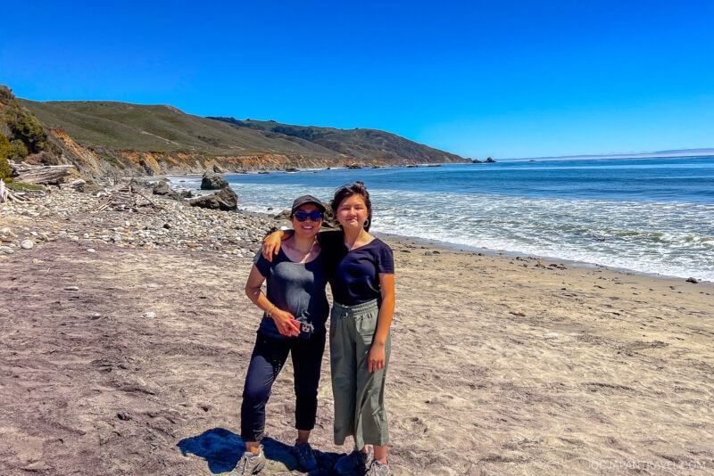
Our final stop was Andrew Molera State Park. Instead of the full loop hike, we chose the flat one-mile walk to Molera Beach. The trail passes through fields where poison oak grows close to the path, so we stayed cautious. The beach itself felt rugged and remote, dotted with driftwood shelters and watched over by a few surfers.
New Restaurants We Tried in Monterey and Carmel
We love trying new places to eat whenever we’re in the area. On this trip, we enjoyed:
- Crystal Fish (Monterey): A local sushi spot with fresh fish at fair prices. Lunch was decent but didn’t wow us. It consistently wins the best Japanese restaurant award locally.
- Cultura Comida y Bebida (Carmel): A standout meal of queso, guacamole, pork cheek mole, and carnitas tacos. The flavors and atmosphere were fantastic.
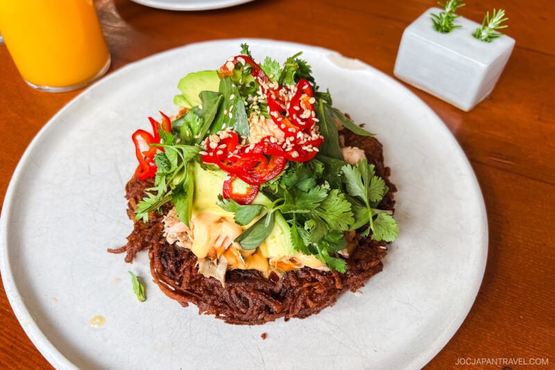
- Stationæry (Carmel): A breakfast worth lingering over. The chilaquiles, salmon on potato pancake, and tenderloin with duck egg were all excellent.
How to Get to Big Sur
Big Sur is not a single destination but a 90-mile stretch of rugged, beautiful coastline along California’s Highway 1. The best way to experience it is by car, which allows you to stop at the numerous scenic overlooks and state parks. It is crucial to check for road closures before you go. The region’s geography makes Highway 1 susceptible to closures from landslides and other natural events, which can sometimes cut off through-traffic for months at a time.
Driving to Big Sur
- From San Francisco (North): The most classic route is to drive south on Highway 1 through Monterey and Carmel-by-the-Sea. The drive from San Francisco to the heart of Big Sur is approximately 3 hours without stops. This route offers iconic views and passes over the famous Bixby Bridge.
Pro Tip: There are very few gas stations and little to no cell phone service in Big Sur. Be sure to fill your tank and download offline maps before you leave the major towns like Carmel.
Why Big Sure Deserves a Spot on Your California Itinerary?

Big Sur ranks among the most scenic coastlines in the world. With its dramatic cliffs, waterfalls, redwood forests, and ocean-view restaurants, it offers the perfect blend of nature and relaxation. We love making the drive from Carmel as a day trip to enjoy the stunning California coast.
More to Explore Nearby
If you have extra time in the Monterey Bay area, here are other great stops:
- Carmel Mission Basilica – A historic Spanish mission with beautiful gardens and museum exhibits.
- Point Lobos State Natural Reserve – Hiking trails and coves that are perfect for spotting sea lions and otters.
- Monterey Bay Aquarium – World-class marine exhibits and interactive experiences for families.
- Carmel Beach – A wide sandy beach ideal for picnics, walks, and sunsets.